FEMA Floodplain Analysis
Floodplain Analysis Studies
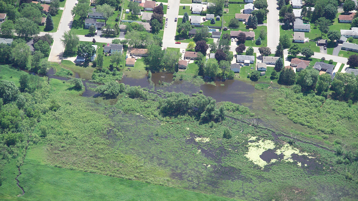
When starting a new project, it is imperative to determine whether the property is located within a Federal Emergency Management Agency (FEMA) designated floodplain. These areas are defined as Special Flood Hazard Areas (SFHAs), and different areas are associated with varying risk factors. If a floodplain is located onsite, a floodplain analysis assists in determining and assessing how potential onsite development could impact the floodplain, as well as required limitations that will be applied to the proposed development. At AQUALIS our engineers understand the challenges associated with sites located in designated floodplains and have experience conducting floodplain analysis studies for sites proposing development, as well as sites that disagree with their flood hazard determination.
When is a Floodplain Analysis Needed?
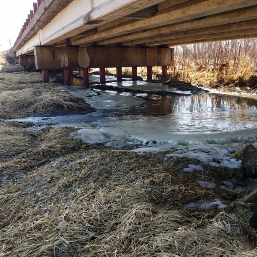
Before developing within a floodplain, engineers must first analyze how the design will impact the Base Flood Elevation (BFE). The BFE is the elevation of the floodplain represents the water surface elevation during the 100-year rainfall event. Typically, proposed work on a floodplain may not increase the BFE. This practice is commonly referred to as a ‘No-Rise’ analysis and is performed and certified by a licensed professional engineer. If the design achieves ‘No-Rise’, permitting will remain with the local regulating agencies. If the BFE increases, then permitting must go through both the local regulating agencies and FEMA.
Floodplain analysis also includes updating floodplain boundaries through FEMA’s Letter of Map Change (LOMC) process and includes hydrologic and hydraulic modeling performed and certified by a professional engineer.
Floodplain Analysis Services
- Hydrologic and Hydraulic (H&H) Analysis
- Flood Insurance Studies
- Flood Model Review
- Site and/or Channel Survey Information
- Floodplain Boundary Delineation

Through meticulous planning, seamless coordination and technical expertise our AQUALIS engineers addressed the immediate stormwater challenges and laid the groundwork for long-term environmental resilience.

In this case study, a major new flood control facility was integrated with green infrastructure and woven into a new, 16-acre park, revitalizing a neighborhood made uninhabitable by long-standing flooding challenges.
Options for Designated Floodplain Changes
Site analysis can determine the best solution for properties on designated floodplains. This could be either a revision or amendment, depending on the mapping of the floodplain and the proposed work associated with the change. Options range, depending on if the site already has an existing structure or planning to construct on a floodplain.
Options for Sites on Floodplains Include:
- Letter of Map Amendment (LOMA)
- Letter of Map Revision (LOMR)
- Letter of Map Revision Based on Fill (LOMR-F)
- Conditional Letter of Map Amendment (CLOMA)
- Conditional Letter of Map Revision (CLOMR)
- Conditional Letter of Map Revision Based on Fill (CLOMR-F)

Federal Flood Risk Management Standard (FFRMS)
Updated on July 10th, 2024, and effective September 9th, 2024, FEMA’s new policies aim to expand and fully implement the Federal Flood Risk Management Standards (FFRMS). The FFRMS encourages implementing sustainable nature-based flood management practices that also benefit the floodplain. This new policy will increase the flood elevation and floodplain to accommodate current and future flood risks, with FEMA has offering substantial funds for FFRMS projects.

Did you receive an NOV? Have an urgent need? We can help.
Notices of Violation (NOVs) or Corrective Notices should be taken seriously. Contact AQUALIS today to learn how to resolve the issue and comply with regulations.


