GIS Services
Geographical Information System (GIS)
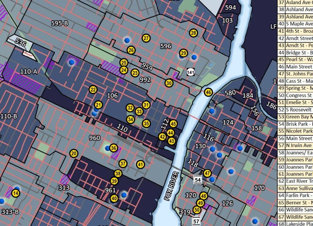
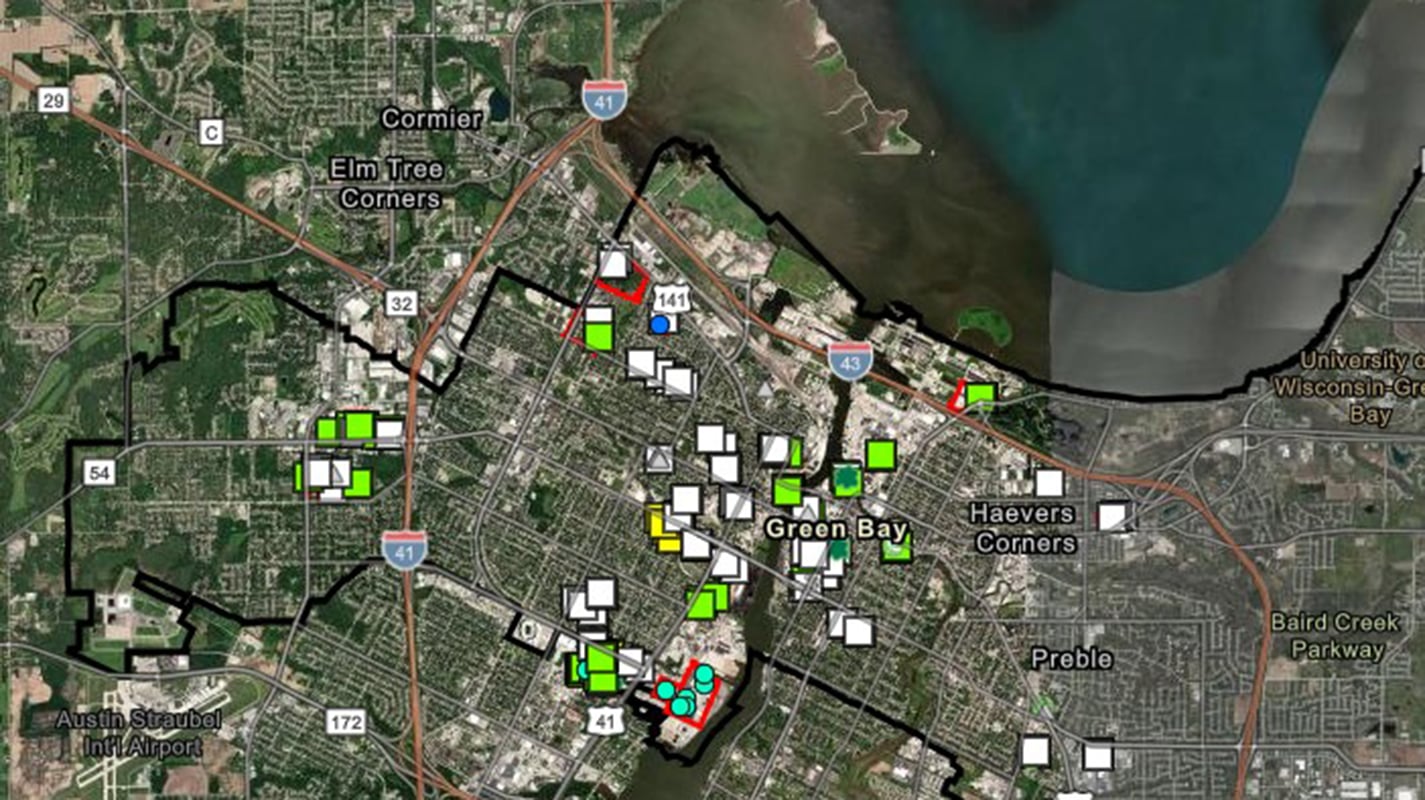
A Geographical Information System (GIS) integrates data into geospatial maps, creating detailed visuals and analytics for infrastructure as well as other community attributes. GIS mapping integrates multiple sources of data to produce a specific and comprehensive record that benefits the user with clear and accessible information about their systems. Our Experts at AQUALIS can utilize GIS for clients, implementing a proactive approach to asset management.
Grid Content
Asset Management
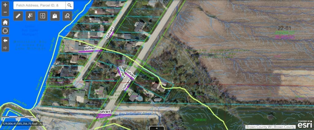
Using spatial mapping, GIS offers an organized approach to asset management by integrating data into detailed maps. Property ownership and easements can be applied, service boundaries defined, and many topographic, geology, and many other conditions imported from external resources to overlay and improve this vision. These maps provide comprehensive analytical insights and real–time updates, enhancing the ability to monitor, maintain, and make informed decisions about assets.
Flooding and Wetland Mapping
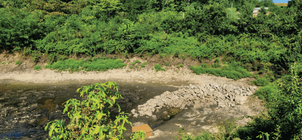
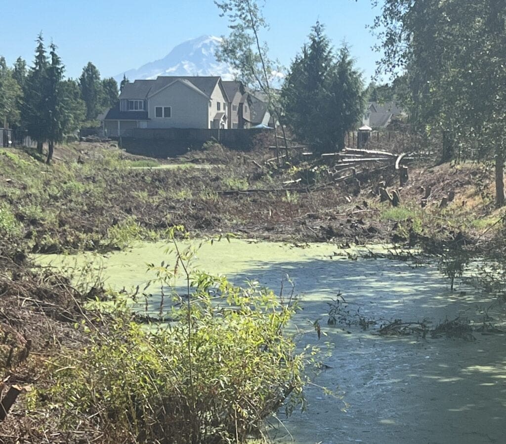
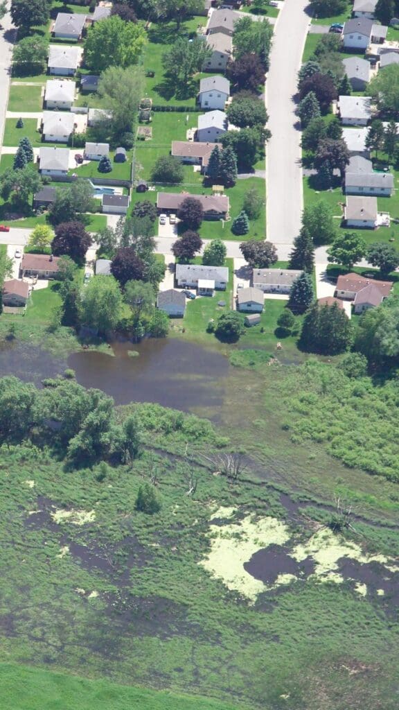
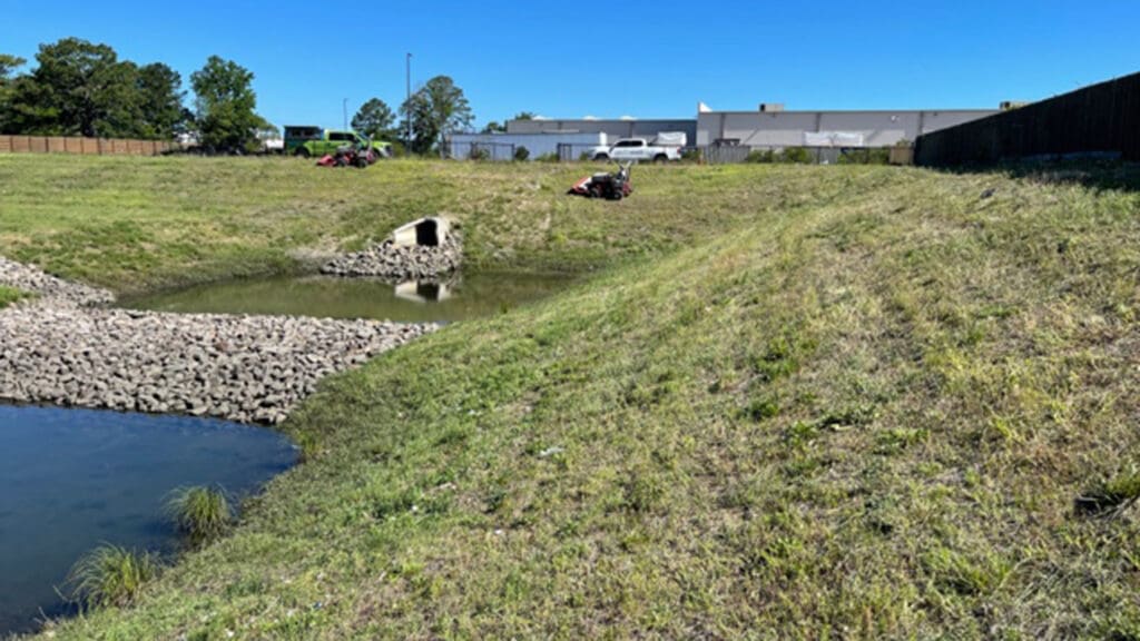
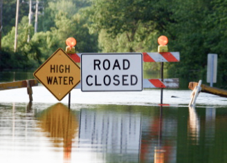
GIS integrates hydraulic and hydrologic information to offer a comprehensive view of flood risks. This approach enhances understanding of potential climate-driven storm events, aiding in the planning and design of infrastructure to effectively manage and mitigate flood impacts.
Utility Mapping
Using asset management resources, utilities can analyze the data in real time to measure overall effectiveness. This data also allows utilities to evaluate infrastructure needs, assess risks, and make data informed decisions to enhance operational efficiency and reliability. It also provides a complete inventory of utility assets that require periodic inspection and maintenance. Making this resource available to Staff and officials provides a strong shared knowledge that improves operations.

Planning
GIS allows users to store, analyze, and visualize geospatial data to identify patterns that may be difficult to recognize. This insight allows us to facilitate data-driven decision-making, creating long-term, sustainable solutions.
Presentations and Public Information
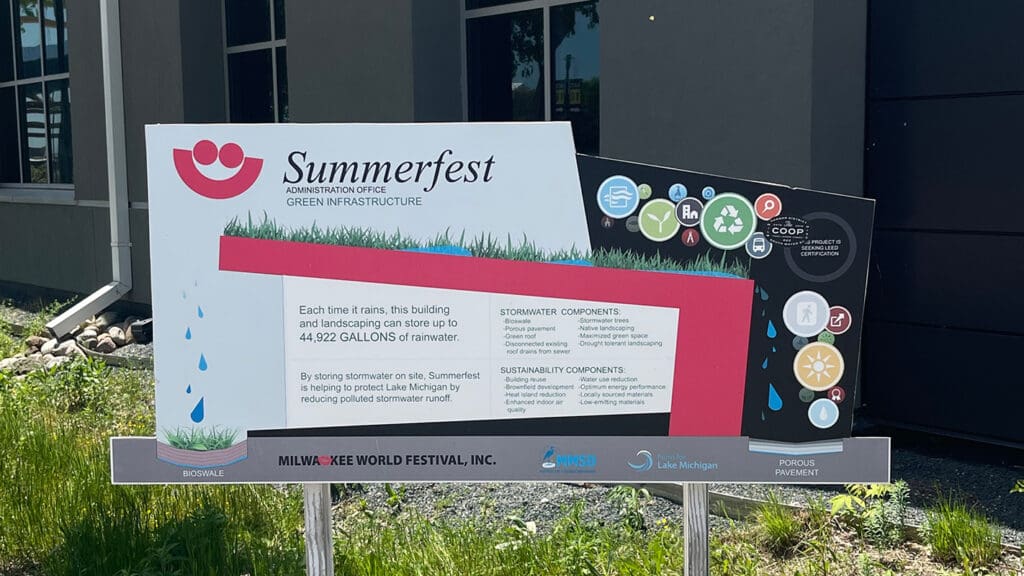
GIS allows users to demonstrate and present information readily to Clients, Utilities, and the public. Reporting of maintenance, creation of new facilities, service areas, and other key factors selected for design can use this resource to readily display useful information. Some GIS systems can also be designed to be made accessible to the public via web pages and that can create a continuous information source desirable when construction activities, roadway closures, and many other real-time changes are taking place.

Nationwide Services
Review our locations and find your local representative with our interactive search.
GIS Benefits and Services
By consolidating data into these maps, this management tool and approach offers a structured way to organize and analyze various-scale assets, enhancing accessibility and decision-making, and a mapping record and resource required of public utility systems
AQUALIS Engineering Services Division GIS Services include:
- Building an inventory of assets
- Reviewing and analyzing asset performance
- Managing and performing regular inspections to keep in compliance
- System provides interactive mapping website and apps updated in real time accessible to office & field staff
- Importing external data into GIS for more comprehensive analytics
What Assets Can be Included in a Geographical Information System?
GIS can be used for many different assets through geospatial mapping. County, State, and other established agency map information is readily shared and updated from external sources. Our specialty is to consult, develop and integrate specific asset management and additions of water, stormwater, and wastewater systems.
What Software does AQUALIS Use? What External Data is Used?
AQUALIS uses ArcGIS, a software program that also allows external data for comprehensive analytics. Examples of external data include DOT highway information, land cover data, impervious and porous pavements, geospatial imagery, and hydraulic & hydrologic modeling rendered by our engineers.
How is GIS used for Utility Management?
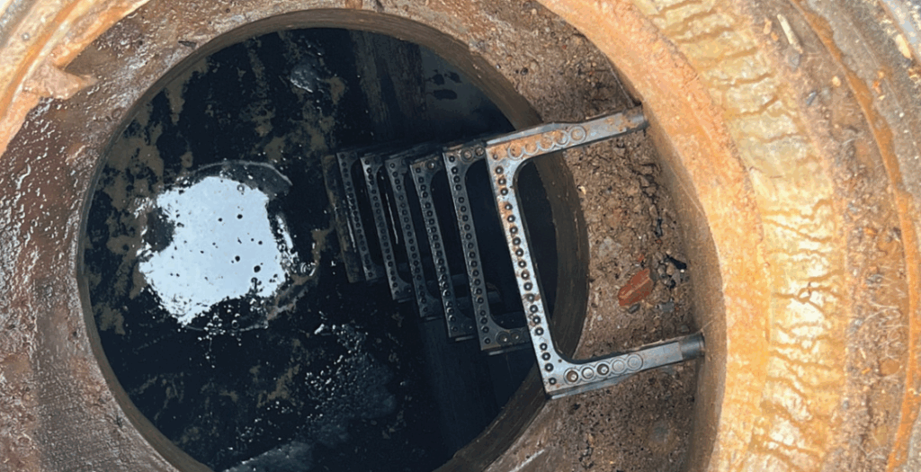
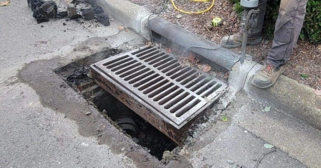
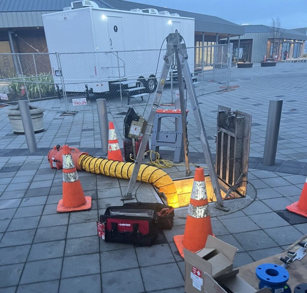
Utility management in ArcMap uses GIS tools to analyze, design, and manage systems efficiently. Key details of water and wastewater systems recorded include details of services, piping sizes and valving, manholes, pumping facilities, etc. The key details of stormwater systems can include watershed delineation, flow direction and accumulation analysis, and runoff modeling. Results are visualized in maps and integrated into reports, providing actionable recommendations for effective management.
Case Studies
Did you receive an NOV? Have an urgent need? We can help.
Notices of Violation (NOVs) or Corrective Notices should be taken seriously. Contact AQUALIS today to learn how to resolve the issue and comply with regulations.


